
Joe Macpherson | August 3, 2019
Hong Kong has no shortage of interesting hikes, they are as varied and different as any part of the world can offer. And heading across the border for a day trip hike is a common hobby for many a Shenzhen resident. But which one to do? This can be a tricky prospect. There are long ones, nature view ones, rock climbing style ones, beach ones, and many of these have been covered by myself for Shenzhen Party. But one I highly recommend is Pineapple Mountain or Po Lo Shan.
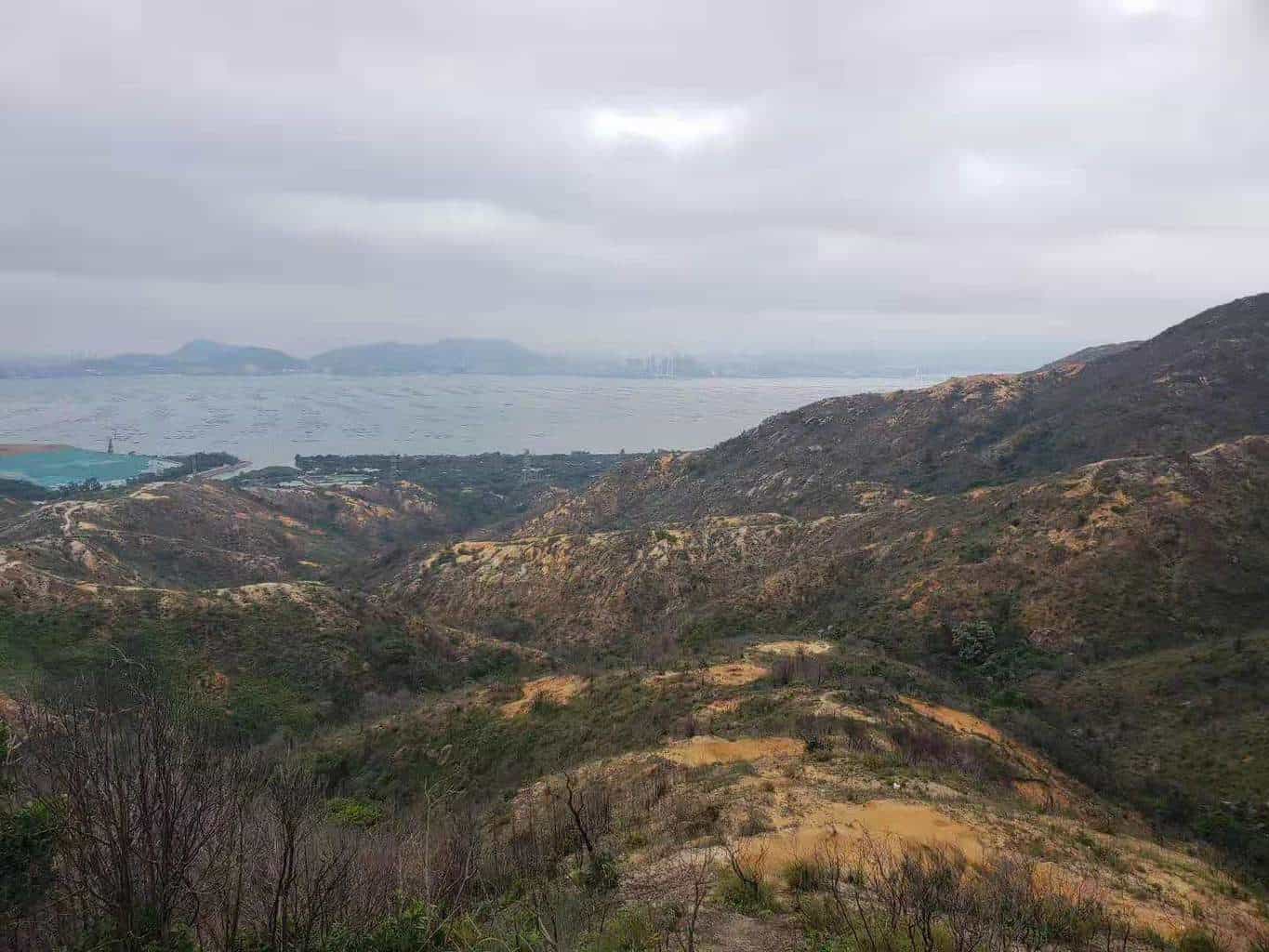
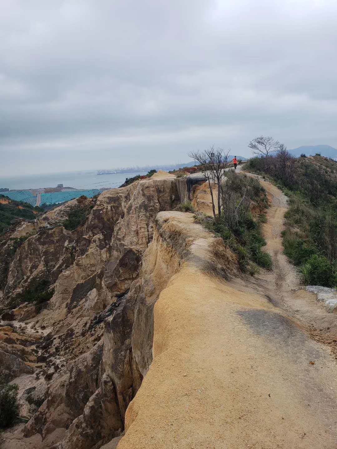
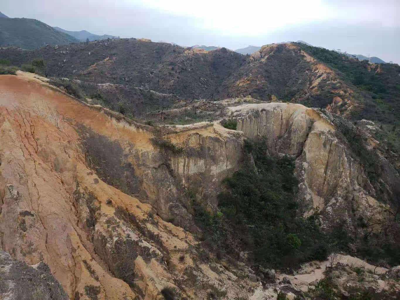
Located very near the Shenzhen border in Tuen Mun district this can easily be achieved in a day with time to spare for other things. It is often referred to as a mini grand canyon so it is worth spending the time to see this.
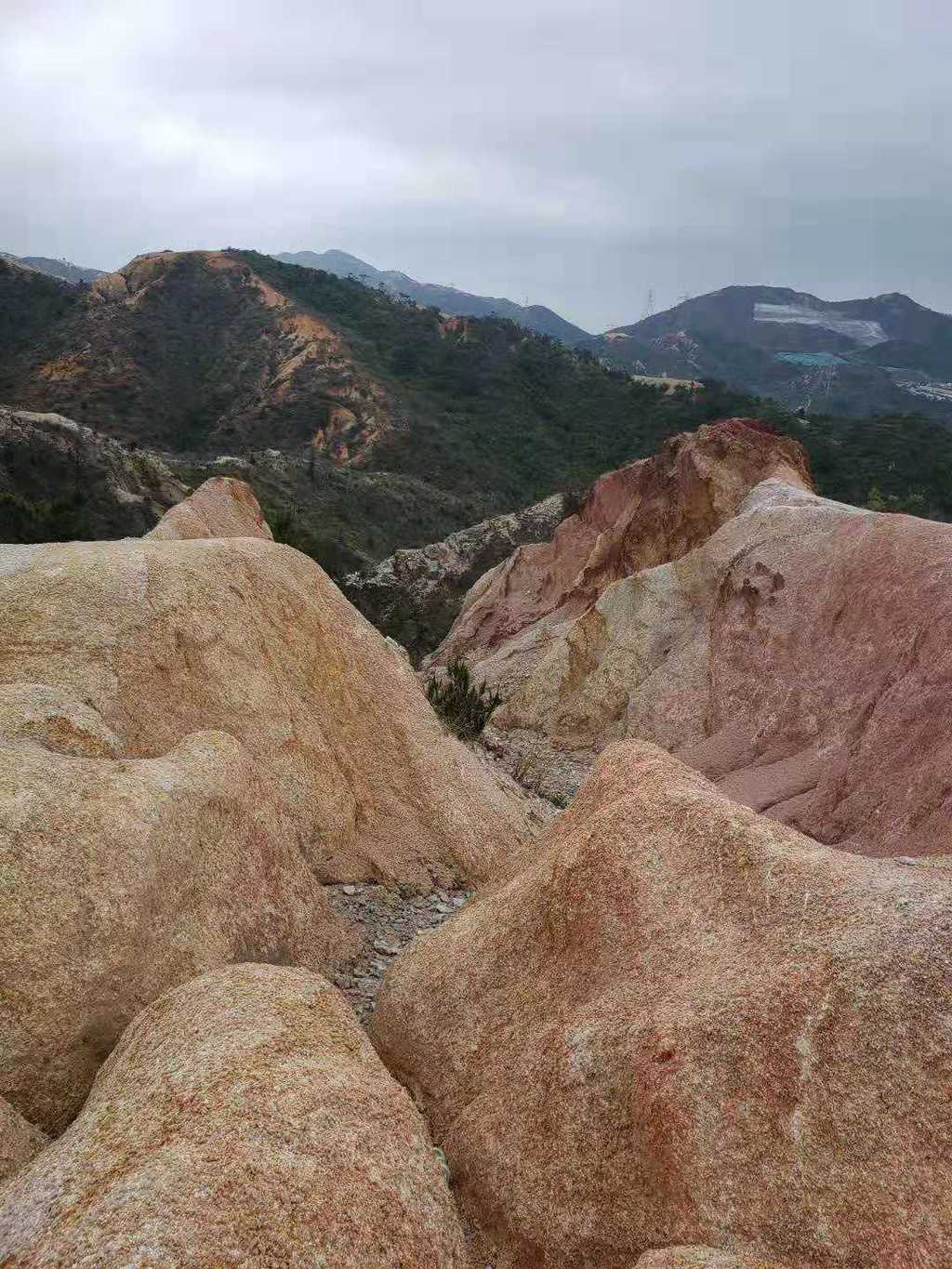
The hike itself is not challenging, I would rate it a 3/10 for difficulty, but the unique charm of this hike lies in the beautiful and interesting geographical nature, and it is kind of like a quarry meets a mountain. In fact some say it looks like the Hong Kong specialty snack pineapple bread, which is where the name comes from. There are unique rock formations and colors which give it a completely different feel to many other hikes in Hong Kong and in China in general.

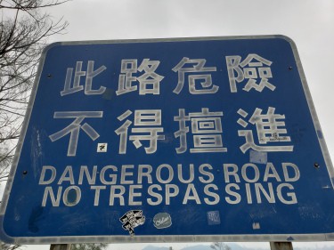
They make for interesting photo opportunities and can be climbed and hiked over with relative ease. The sweeping views of both the mountains on one side and the ocean on the other makes for a 360 degree experience. I must stress be careful when walking this route as there are some steep drops and it can be dangerous if you are not looking where you are going
Route
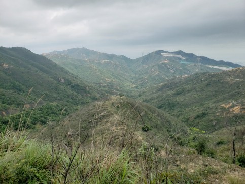
It begins with an approximately 30 minute ascent via a paved road. Nothing fancy to see here but this is the only way. It is not very well shaded so you’ll be exposed to the heat and sunshine. When you get to the top of the steep hill, the route will change from a paved road to dirt and rocks.
The path is clearly defined, so don’t worry about getting lost. As this is an unofficial hiking trail, there are no signs along the way. When you reach the highest point you have 2 options, to go back to where you started, or to continue to the end point and the next village which is what I did.
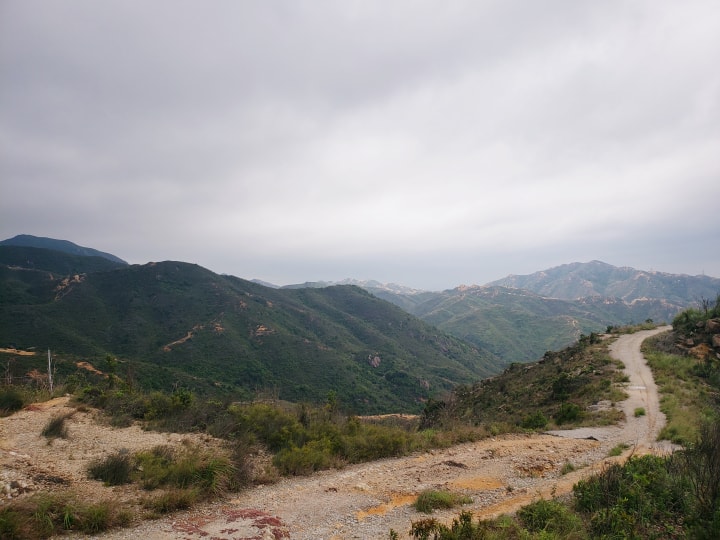
As you descend it starts as rocks but then goes back to a paved road. Keep going down until you get to a sign, from here turn right and continue on the road.
Just keep going until you see a signpost, the minibus terminus is not far from here and can take you back to several MTR stations depending where you want to go.
How to get there:
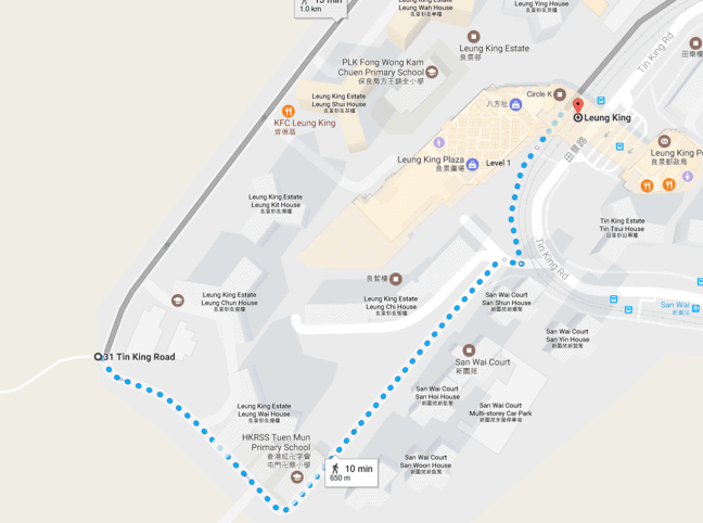
From the Siu Hong MTR Station (West Rail line), take the light rail (505/615) to Leung King Station. (Note: If you take the MTR to Siu Hong, there is a free interchange to the light rail) Follow the signs (or ask friendly locals) to begin walking up to Leung Tin Au. From there, Po Lo Shan will be an additional 15 minutes.
Please follow my WeChat directly if you’d like to know more or have any questions. Or keep following the Shenzhen Party official account for regular articles.

Other Hong Kong Hikes
- Pineapple Mountain Hike
- Hike your Heart out in Hong Kong
- Waterfall Hike in Hong Kong
- Monkeying Around In Hong Kong
- Hiking weekend getaways in Hong Kong
- A Challenging Hike with Fantastic Views
- Hiking on Dragon’s Back Trail in Hong Kong
- Look for more hiking events on our event calendar.
- Join our Shenzhen meetup group for more cross border hiking event notifications.